Bolivia’s Cordillera Real Trek Overview
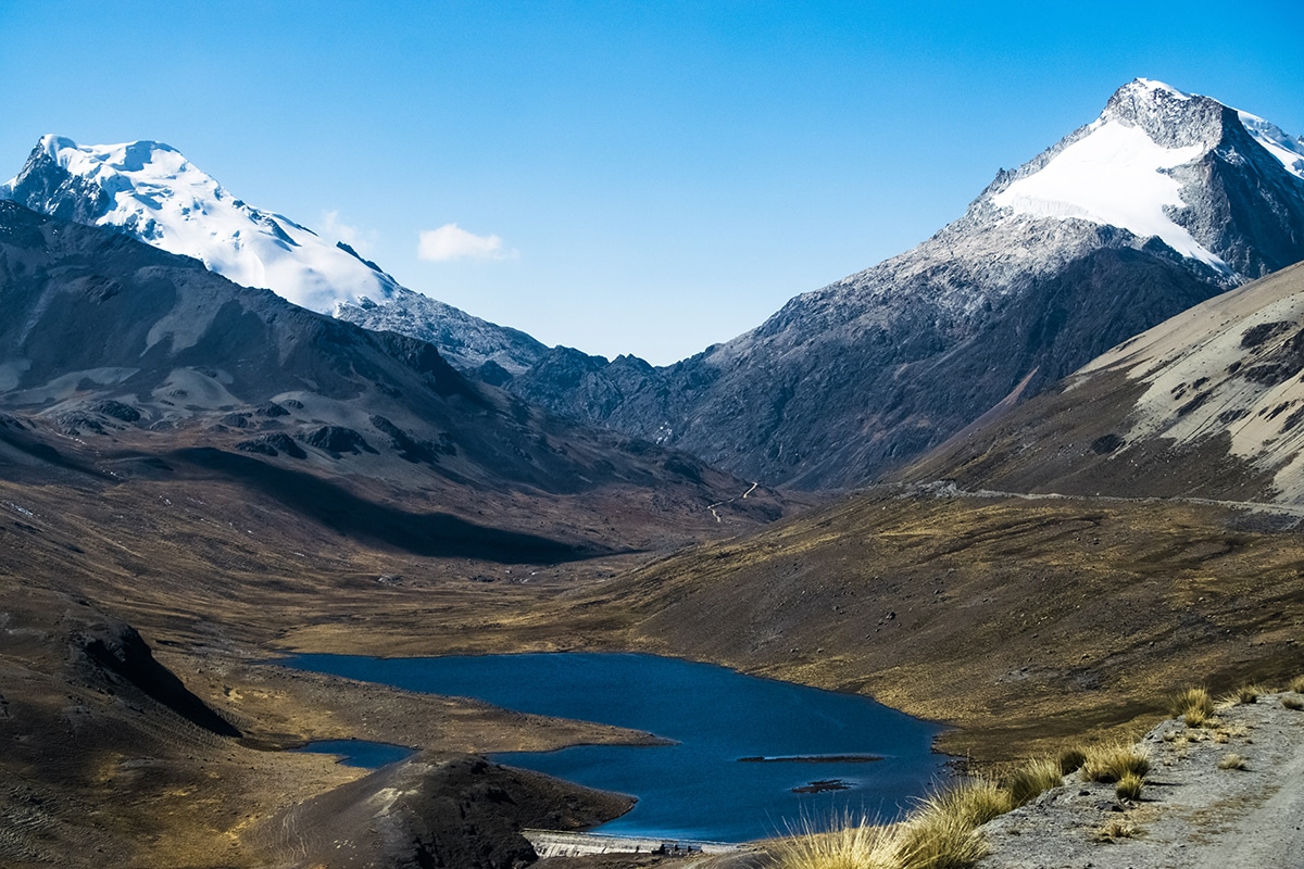
This expedition to Bolivia provides the opportunity to experience the beauty of stark high altitude landscapes and panoramic views of glaciated peaks along with authentic Andean culture. As tourism infrastructure in Bolivia is delayed behind that of other neighboring Andean countries, travel here is well-suited to the adventurous traveler. However, the intrepid visitor to Bolivia will find endlessly fascinating cultural depth, authenticity and natural beauty.


Basic Information About Trek
Bolivia’s Cordillera Real (Royal Range) contains 7 peaks over 6000 meters and over 600 peaks over 5000 meters all packed within a range that stretches a mere 78 miles in length. Despite the immensity of trekking possibilities, Bolivia’s premier mountain range remains one of South America’s best kept trekking secrets. This trek itinerary is specially designed to take in a variety of the best scenery along the length of the range.
COVID-19 PROTOCOLS
BOLIVIA’S CORDILLERA TREK PRICE
$4,500.00.
BOLIVIA’S CORDILLERA TREK SCHEDULE
2023 Dates TBD.
Please note that trekking times, distances, and elevation gains are approximate. We will be trekking through a remote and wild mountain region and, while we have established destination points, we will often not be following any kind of established trekking route or visible trail. Be prepared to walk on varying types of terrain, including scree. Not being on a well established trekking route is one of the wonderful aspects of this trip, but it can make our progress more arduous.
Day 1 & 2
Depart country of origin.
Arrive La Paz, Bolivia.
Day 3 to 7
First destination is the small lakeside village of Santiago de Huata. From
Santiago to Huata, we will enjoy views of the shores of
the lake and the enormous Ancohuma massif (21,086 ft / 6427 m) as we drive to the
village of Santiago de Okola . Overnight in rustic accommodations at Santiago
de Okola (12,600 ft / 3840 m).
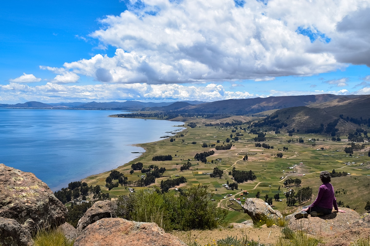
Hike to the top of the Dragon Dormido, the aptly named rock formation for which the local community is known. The summit, at 13,435 ft / 4095 meters, affords absolutely spectacular views of the Cordillera Real mountain range,Lake Titicaca, and the surrounding rural farmland. In the afternoon we will drive to Sorata(9,200 ft / 2805 m). Overnight in basic hostal at Sorata (9,200 ft / 2805 m).
Begin our trek from the village of Sorata through rural agricultural slopes and villages to the small hamlet of Lakhatiya. As we gain elevation, we pass through several different agricultural zones and gain insight into village life. Overnight in tents near Lakhatiya (13,450 ft / 4100 m).
Trekking time with breaks: 7 hours aprox.
Distance: Aprox. 6 miles.
Elevation Gain: 4400 ft.
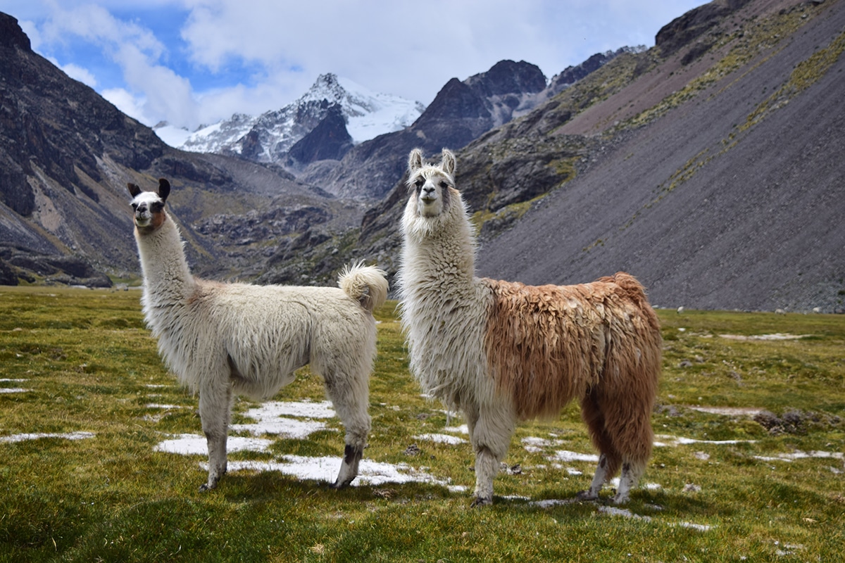
Take over Illampu Pass (15,554 ft / 4741 m), affording spectacular close up views of the sheer slopes of Illampu (20,892 ft / 6368 m). We will make a long curving descent with views towards the lower pre-cloud forest slopes to the northeast and will camp near the remote mostly abandoned llama herder village of Utjaña Pampa. As we approach our campsite, one of the Cordillera Real’s most difficult to access major peaks, Pico del Norte (19,915 ft / 6070 m), soars over 7000 feet above us. Overnight in tents near Utjaña Pampa village (12,800 ft / 3900 m).
Trekking time with breaks: 7 hrs aprox.
Distance: 7 miles.
Elevation Gain: 2100 ft.
Trek up and over the Karwasani Pass (14,900 ft / 4542 m), from which we will have views over the greener slopes of the comparatively lower elevation mining village of Cocoyo. We will be trekking completely on the Amazon side of the Cordillera Real and warmer air often creeps up forming clouds and fog over the valleys here. We will proceed through the village to the Sarani Valley . Overnight in tents in the Sarani Valley (11,880 ft / 3620 m).
Trekking time with breaks: 5-6 hrs.
Distance: 6.5 miles.
Elevation Gain: 2300 ft.
Day 8 to 13
Cimb up the Sarani Valley, following a pristine river, and passing alongside
mostly abandoned stone houses belonging to Aymara llama herders up to the
Sarani Pass
(14,900 ft / 4542 m). We will arrive at the small village of Chajolpaya and camp
alongside the river above the village. Overnight in tents in the Chajolpaya
valley
(13,400 ft / 4080 m).
Trekking time with breaks: 6 hrs.
Distance: 6.5 miles.
Elevation Gain: 3020 ft.
From Chajolpaya through the Calzada Pass (16,550 ft / 5044 m) to the altiplano (high plateau) side of the Cordillera Real. From Chojña Khota Lagoon (15,600 ft / 4755 m), we will begin our trek in a southeasterly direction and over the course of the next several days will follow the mountain range through one of the most spectacular sections of glaciated peaks. Today’s trek will take us over a ridge around 16732 ft / 5100 m with spectacular views and down to Jistaña Khota Lagoon on the other side. Overnight in tents below Jistaña Khota Lagoon (14,990 ft / 4570 m).
Trekking time with breaks: 4 hrs.
Distance: 3.5 miles.
Elevation Gain: 1,100 ft.
Traver the lower ridges of Chearoco (20,102 ft / 6127 m) as we pass over several ridges around 16,000 ft / 5000 meters and continue to enjoy panoramic views of the Cordillera Real . We will camp in the valley below the western slopes of Chearoco . Overnight in tents in Kelluani Valley (15,200 ft / 4635 m).
Trekking time with breaks: 6 hrs.
Distance: 4.5 miles.
Elevation Gain: 1700 ft.
Trek over a pass in the ridges that separate the valleys below the peaks of Chearoco and Chachacomani (19,915 ft / 6070 m). Conditions permitting, we will also make an ascent of the trekking peak Chachatuju (17,552 ft / 5350 m). Overnight in tents at base camp of Chachacomani (14,630 ft / 4460 m).
Trekking time with breaks: 7 hrs.
Distance: 5.5 miles.
Elevation Gain: 2350 ft.
Continue up the valley towards the mountains and over a pass of around 16,535 ft / 5040 m with expansive views of Chachacomani. From the pass, we descend into the Jaillahuaya valley and curve around to a platform that forms the entrance to a higher valley below the peak of Warawarani.
Overnight in tents at Jaillahuaya Valley (15,090 ft / 4600 m).
Trekking time with breaks: 7 hrs.
Distance: 6.5 miles.
Elevation Gain: 2100 ft.
Take to Warawarani(18,182 ft / 5542 m), which means “the place of the stars” in the indigenous Aymara language. We climb from the lake to a pass of 16,500 ft / 5030 m and down into the next valley before climbing a final pass and descending to the large blue Khotia Lake. Our driver will meet us at Khotia Lake for the return trip to La Paz. Overnight at hotel in La Paz(11,810 ft / 3600 m).
Trekking time with breaks: 6 hrs.
Distance: 7 miles.
Elevation Gain: 2200 ft.
Day 14
Depart La Paz.
This trek is led by Rachel Molstad a Bolivia expert who lives in the region and leads all our Bolivian treks and climbs
CYBERCASTS
Alpine Ascents provides family and friends the opportunity to follow our climbs as they proceed. Utilizing state-of-the-art technology, we receive regular audio dispatches from the climbers and post them on our website.
OUR GUIDING TEAM
Part of Alpine Ascents’ success is based on our small and select group of experienced guides.
GEAR DEPARTMENT
Alpine Ascents has a full gear department ready to assist with your climbing questions and preparations. We have a full-time gear staff and a retail store.